
Footpath Tannes et glacières of Margériaz
Itinéraire

 Departure/Arrival
 Point of interest
Head for Margériaz and, at the bend before you reach the resort, turn left at "Place à Baban", where you'll see a sign for "Sentier des Tannes et Glacières".


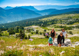

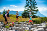
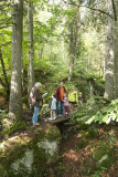
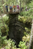
Margeriaz's vast limestone plateau abounds in holes called "tannes". An often strange and always spectacular landscape has emerged and keeps changing before our eyes: the karst. This waymarked walking route has 9 information boards.
From the parking lot, follow the discovery trail logo. You reach the "Place à Baban" and from this path follow the path which goes up into the forest.
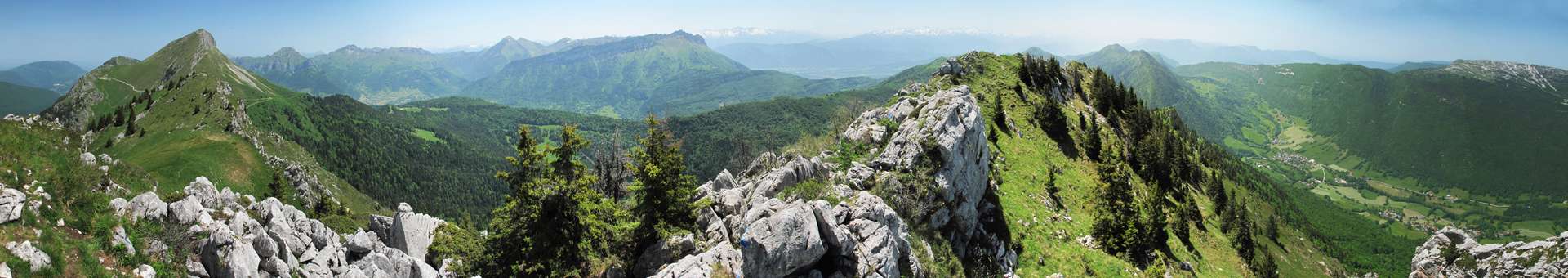
At point 4 on the "Grand Raffou" 1,590 m (Refou on the IGN map), it's possible to turn off at the "Chalets de la Bergerie" to follow the short loop walk, otherwise the route leads towards the crest and offers a panoramic view of the surrounding peaks.
At point 6 of the markings the discovery trail continues to descend, but you can also prolong it up to the crest then to the top (100 m more to climb). After a return trip, go back on the discovery trail which you follow downhill to arrive near the "Chalets de Margériaz". The trail goes into the forest, passes beside the "Tannes aux Cochons" (chasm where potholing is possible) and other different chasms then returns to the starting point.
A guide book is on sale in the Tourist Offices for €2.50.
Shorter loop walk is 200 m difference in height (2 hrs return trip).
From 05/01 to 11/30 : open daily.
General
- Equipements et services :
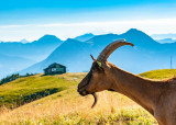
- Animaux acceptés
- Route :
- Type of itinerary BOUCLE
- Marked route
- Distance (in km) 7
- Daily duration (in min) 270
- Maximum altitude (in m) 1700
- Height difference (in m) 420
- Positive elevation gain (in m) 420
- Negative elevation gain (m) 420
- Levels of sporting experience :
- Level bue - easy
Download
Contact
Footpath Tannes et glacières of Margériaz
D59A
73340
Aillon-le-Jeune
Phone : +33 4 79 54 63 65