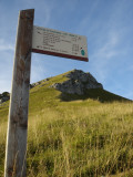
Mount Colombier by "la Fullie" and Cochette pass
Itinéraire

 Departure/Arrival
 Point of interest
Circuit n° 1
By car, go to Aillon-le-Jeune village. From there, follow "Aillon-station" direction, then "Chartreuse d'Aillon" direction. Go past the Chartreuse old building, and continue to the carpark at the end of the pastoral road under the chalets and pastures of Praz-Gelaz.
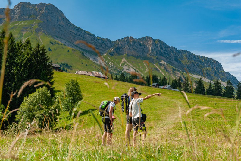
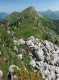
Mount Colombier is unmistakable with its impressive silhouette, towering over 2000m hight.
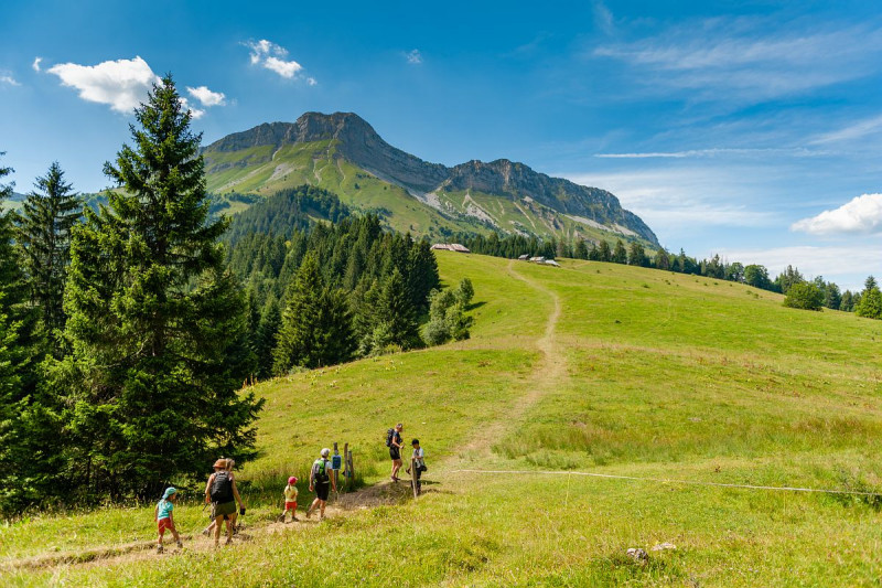
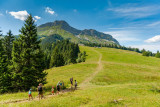
From Praz Gelaz car park and pastures, the trail climbs up the the Fullie chalets, nested in the pasture at the foot of Mount Colombier. The setting is idyllic and the climb through the meadow very pleasant.
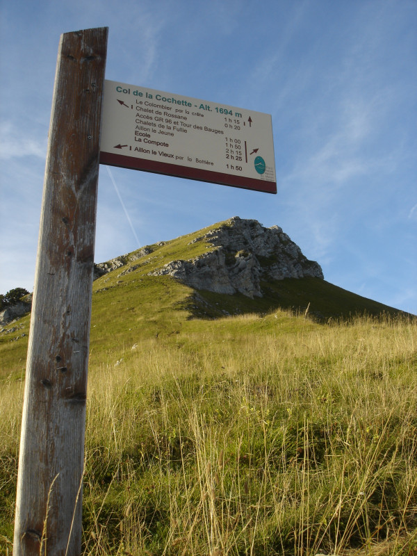
After a while, the slope will increase and you will reach the forest and its welcome shade. The trail then reaches Cochette pass ("col de la Cochette") from which you can see the summit, at the end of the ridge.
The climb isn't finished yet, but effort goes unnoticed with such a beautiful scenery on both sides of the trail.
What a reward when you reach the summit ! An amazing 360° panorama over Annecy lake and Mont-Blanc, as well as the whole Bauges massif !
To make your way back, go down towards Rossane chalet. The goats take their summer quarters in these mountain pastures. Make sure to close the fences behind you.
You may meet herding and guard dogs protecting the cattle. The mountain is a wonderful place for a hike, but also a workspace to be respected !
From 01/05 to 31/10 daily.
Subject to favorable weather.
Subject to favorable weather.
General
- Route :
- Type of itinerary BOUCLE
- Marked route
- Distance (in km) 10
- Daily duration (in min) 300
- Maximum altitude (in m) 2045
- Height difference (in m) 918
- Positive elevation gain (in m) 918
- Negative elevation gain (m) 918
- Levels of sporting experience :
- Level red – hard
Download
Contact
Mount Colombier by "la Fullie" and Cochette pass
Parking de Praz-Gelaz
73340
Aillon-le-Jeune
Phone : +33 4 79 54 63 65


