The Rossanaz tooth and mount Colombier loop
Itinéraire

 Departure/Arrival
 Point of interest
Circuit n° 1
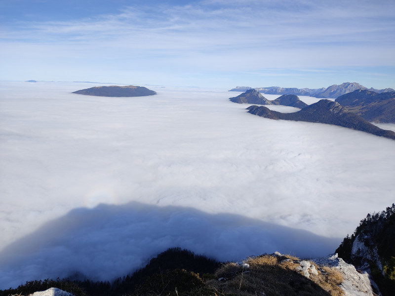
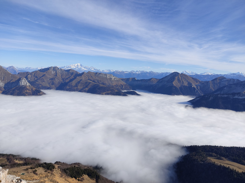
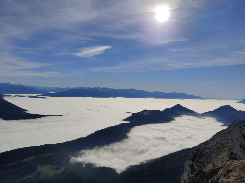
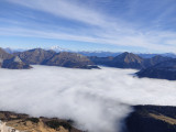
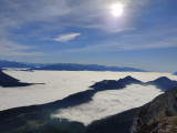
A splendid, sporty hike to one of the highest peaks in the Bauges. A 360° view over the whole massif and beyond, with Mont-Blanc as a bonus if the weather is clear.
D / Cemetery parking lot
1/ Take the path opposite towards the Rossanaz cross. Follow the yellow markings. The route soon leaves the village, crosses meadows and then reaches the forest. The climb through the undergrowth is steep, but effective, until you reach the mountain pastures.
2/ After leaving the forest, a few more scree crossings and Mont Colombier rises up in front of you.
Turn left towards the Rossanaz cross. You'll then pass through grazing areas: herds may be present, watched over by herd guard dogs, so be vigilant.
3/ The path leads you to the cross, then to the summit of the Rossanaz Tooth.
Here, a splendid view of the Lescheraines valley and the Margériaz awaits you, along with an orientation table for reading the landscape. Mont Blanc is already visible behind the high peaks of the Bauges. Take advantage of this break to recharge your batteries.
4/ Take the same path back down to the Col de Rossanaz,
5/ Follow the signs for Mont Colombier.
A little before the Colombier pass ("col du Colombier"), if you feel like it, stop off at the miner's cave, just a stone's throw from the trail! Don't venture too far inside, however, as the gallery is unstable.
6/ Return to the pass and follow the signs for Mont Colombier.
The slope is steep and airy in places.
7/ You finally reach the summit.
Admire the high peaks of the Bauges (Trélod, Arcalod, Arclusaz, ...), as well as the neighboring massifs: Mont-Blanc, Vanoise ...
8/ For the descent, head south along the Colombier ridge to the Cochette pass (Col de la Cochette).
9/ Follow the signs for Aillon-le-Vieux, La Bottière.
The path drops down through meadows to an old, abandoned alpine chalet. Follow the yellow markings back into the forest.
10/ The path descends into undergrowth for most of the way, with the exception of the small La Bottière mountain pasture, which you cross a little further down.
11/ Lose another 250m of ascent, leave a "steep shortcut" on your right and continue to an intersection.
12 / Turn right towards "Aillon-le-Vieux".
You'll soon reach the small hamlet of La Bottière.
13/ From the hamlet, there's another 1.5km on the road to the start parking lot.
------------------------------------------------------------------------------------------------------------
Caution! This itinerary takes you through mountain pastures. Herds may be present, watched over by patous (herding and guarding dogs). Please be vigilant. Before setting off, find out how to behave in the presence of patous, and remember to close the gates behind you to prevent the animals escaping.
You are strongly advised not to take a pet dog on this route, even if it is on a leash.
From 15/05 to 31/10 daily.
Subject to favorable snow and weather conditions.
Subject to favorable snow and weather conditions.
General
- Route :
- Type of itinerary BOUCLE
- Marked route
- Distance (in km) 13.2
- Daily duration (in min) 510
- Maximum altitude (in m) 2045
- Height difference (in m) 1310
- Positive elevation gain (in m) 1310
- Negative elevation gain (m) 1310
- Levels of sporting experience :
- Level black - very hard
Contact
The Rossanaz tooth and mount Colombier loop
Impasse du cimetière
73340
Aillon-le-Vieux
Phone : +33 4 79 54 63 65


